Broomfield Weather Cams
Carolyn Holmberg Preserve at Rock Creek Farm (Trail Head)

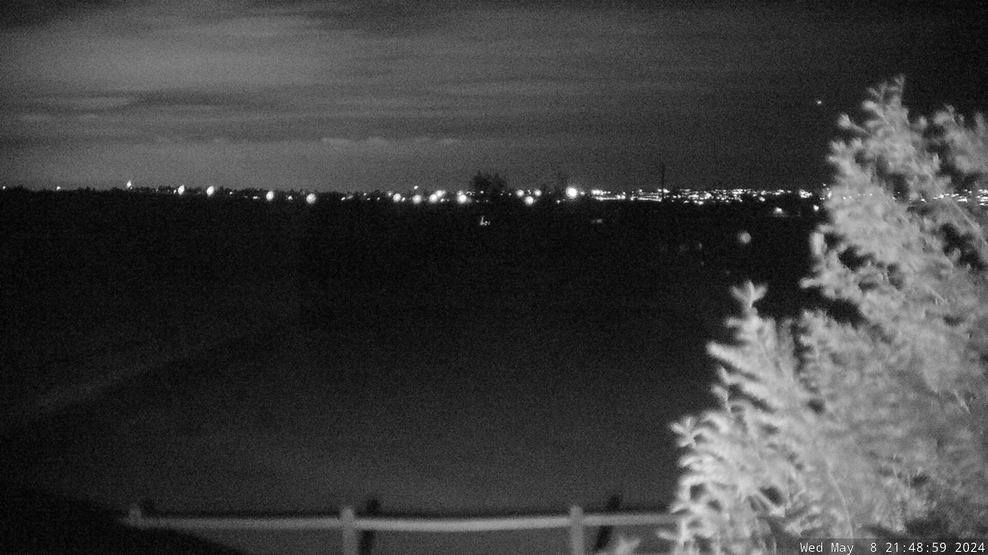
Carolyn Holmberg Preserve at Rock Creek Farm (looking south)

Rocky Mountain Metropolitan Airport via FAA (Broomfield)
Broomfield, Colorado: From Agricultural Roots to a Thriving City-County
Broomfield, Colorado Weather Cams. Broomfield, Colorado, is a unique municipality that has evolved from a small farming community into a thriving city and county with a strong economic base and a rich history. Located between Denver and Boulder, Broomfield has been shaped by Indigenous presence, railroad expansion, agriculture, and modern urban development.
Indigenous Presence and Early Settlement
Before European settlers arrived, the land that now comprises Broomfield was home to Cheyenne, Arapaho, and Apache tribes. These Indigenous groups followed migrating game across the plains, relying on the South Platte River Valley for sustenance. The area became part of the United States in 1803 through the Louisiana Purchase.
The Agricultural Beginnings
Broomfield’s modern history began in the late 19th century, when settlers established dryland farms across the rolling plains. In 1885, Adolph Zang, a prominent Denver businessman, purchased land in the area and developed Elmwood Stock Farm, where he bred Percheron horses and cultivated fruit orchards. Tenant farmers worked the land, growing grain and irrigated crops, which were transported via Zang’s Spur, a railroad stop serving the Zang Brewing Company in Denver.
Railroad Expansion and Growth
The arrival of the Colorado Central Railroad in 1873 connected Broomfield to Denver and Cheyenne, facilitating trade and transportation. The Denver, Utah & Pacific Railroad followed in 1881, further integrating Broomfield into Colorado’s growing economy. By 1886, the Denver, Marshall & Boulder Railway provided a direct rail link through Broomfield, replacing earlier routes through Golden.
The Development of Broomfield
The town of Broomfield officially incorporated in 1961, growing as a residential and commercial hub along the Denver–Boulder Turnpike (U.S. Route 36). The turnpike, constructed in 1950, accelerated development, making Broomfield a desirable location for commuters traveling between Denver and Boulder.
Becoming a City-County
By the 1990s, Broomfield had expanded into four different counties—Boulder, Adams, Jefferson, and Weld—creating administrative challenges. In 1998, residents voted to consolidate Broomfield into a single city-county, making it Colorado’s 64th and newest county in 2001.
Modern Broomfield and Surrounding Area
Today, Broomfield is a thriving city with a population exceeding 74,000 residents. It is home to high-tech industries, business parks, and recreational spaces, balancing urban development with environmental conservation. The city’s proximity to Longs Peak, Mount Evans, and the vast eastern plains provides stunning natural scenery.
Conclusion
Broomfield’s transformation from a farming community to a modern city-county reflects Colorado’s broader evolution. Its railroad heritage, agricultural roots, and urban expansion make it a unique and dynamic part of the Front Range metropolitan area. Whether exploring its historic landmarks or engaging in its thriving economy, Broomfield remains a testament to growth and innovation.
For more information, visit the Broomfield, Colorado official website.
