Lyons, Colorado Weather Cams
Rabbit Mountain (East of Lyons), Looking South Toward Boulder

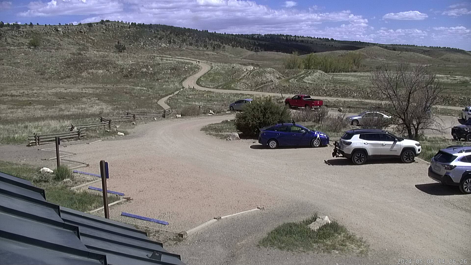
Rabbit Mountain (East of Lyons) Looking West

Rabbit Mountain (East of Lyons) Looking East
St. Vrain Creek
Lyons, Colorado: Sandstone Foundations and Mountain Horizons
Lyons, Colorado Weather Cams. Tucked at the confluence of the North and South St. Vrain Creeks and cradled by red sandstone cliffs, Lyons, Colorado has long stood as a crossroads between the plains and the peaks. Its legacy is shaped by geological bounty, indigenous history, pioneer perseverance, and a modern embrace of music, art, and sustainability. Though modest in population, Lyons has long punched above its weight in culture, resilience, and scenic grandeur.
Long before Euro-American settlers arrived, the Lyons area was part of the traditional lands of the Arapaho, Ute, and Cheyenne peoples. The St. Vrain Valley provided seasonal hunting grounds and trade routes, and archaeological evidence points to indigenous presence in the region for thousands of years. The creeks, canyons, and wildlife-rich foothills formed a vital ecosystem for native communities who migrated with the seasons.
The arrival of European-American settlers in the mid-19th century accelerated after the Colorado Gold Rush of 1859. Prospectors and homesteaders passed through the area on their way to gold fields near Central City and Nederland, gradually establishing farms, ranches, and supply routes. The town’s true foundation, however, was laid in sandstone.
In 1880, settler Edward S. Lyon purchased 160 acres of land at the confluence of the St. Vrain Creeks. He soon platted the town and sold lots to incoming families and businesses. The settlement, officially incorporated in 1891, took on Lyon’s name—despite the curious fact that he never lived there himself. The area’s defining feature quickly became its dramatic red sandstone outcroppings, formed during the Permian and Pennsylvanian periods more than 250 million years ago. As quarries opened in and around Lyons, the town gained a reputation for its high-quality stone, which would go on to grace buildings across Colorado and beyond.
By the early 20th century, the sandstone industry had become the town’s economic engine. Dozens of quarries operated in the surrounding foothills, employing laborers who carved, hauled, and shaped the stone for civic buildings, churches, schools, and homes. Lyons sandstone helped build the University of Colorado Boulder campus, the Denver County Courthouse, and countless other structures up and down the Front Range. Workers from Scotland, Italy, Germany, and Mexico brought their masonry skills to Lyons, creating a diverse, industrious community.
Complementing this industrial rise was the arrival of the railroad. In 1885, the Denver, Utah & Pacific Railroad reached Lyons, linking the quarries with markets across the region. The rail line became a vital connection—not only for stone but also for agricultural products, timber from nearby canyons, and passenger traffic. The town developed amenities such as hotels, general stores, blacksmith shops, and schools, creating a self-sustaining hub nestled between Boulder and Estes Park.
Through much of the 20th century, Lyons remained small and industrious. When quarrying waned in the mid-century, agriculture and tourism helped fill the economic gap. The surrounding foothills, including Hall Ranch and Heil Valley Ranch, became popular with hikers, hunters, and horseback riders. As Estes Park and Rocky Mountain National Park grew as tourist destinations, Lyons served as a charming waypoint. U.S. Highway 36, built over old wagon routes, brought a steady stream of summer travelers through the town.
In the late 20th and early 21st centuries, Lyons underwent a quiet renaissance. Artists, musicians, and craftspeople were drawn to its natural beauty and small-town pace. The town leaned into its creative identity, launching festivals such as the RockyGrass bluegrass festival and the Lyons Folks Festival, both of which gained national reputations and brought visitors from across the country. The town also began investing in parks, trails, and sustainability initiatives, earning recognition as a progressive and resilient community.
This resilience was put to the test in September 2013, when torrential rainfall triggered catastrophic flooding across northern Colorado. Lyons, situated at the narrow mouth of the canyon, was among the hardest hit. Floodwaters swept through downtown and residential neighborhoods, destroying homes, roads, utilities, and essential infrastructure. The entire town was evacuated, some areas remained without power for weeks, and rebuilding took years. Yet the flood also galvanized community spirit. Locals rallied around recovery efforts, fundraising, and reconstruction. Today, flood mitigation infrastructure, ecological restoration, and community planning efforts reflect the lessons learned from that disaster.
The town’s modern character is shaped by a delicate balance—preserving its historic soul while adapting to growth pressures. Its population remains small—just over 2,000—but the town’s role within the greater Boulder County region continues to evolve. Nearby communities such as Allenspark, Pinewood Springs, and the western stretches of Longmont are increasingly tied to Lyons through shared watersheds, commuting routes, and recreational access.
To the west, the road winds through stunning scenery en route to Estes Park. Southward lies the community of Hygiene, a quiet, pastoral hamlet known for its historic cemetery, bike routes, and agricultural landscapes. To the east and north, open space and conservation easements protect wildlife corridors and native grasslands, creating an ecological buffer between Lyons and the rapidly urbanizing plains.
Environmental stewardship is now a core part of Lyons’ identity. The town supports solar energy, native landscaping, and local food initiatives. It has also fostered a robust outdoor culture, with trail systems weaving through red rock formations, riverbanks, and ponderosa pine forests. Fishing, cycling, mountain biking, and trail running are part of daily life here, integrated into both local identity and regional tourism.
Today, Lyons is more than just the “Double Gateway to the Rockies” (via highways 36 and 7)—it’s a town that celebrates its geology, honors its artistic soul, and embraces its role as a steward of both community and environment. Whether wandering past sandstone walls downtown, tapping your foot to banjo tunes under cottonwoods, or watching alpenglow slide across the ridges above town, you’re participating in a story as enduring—and as beautiful—as the stone that built it.
For more information, visit the Lyons, Colorado official website.