Salida, Colorado Weather Cams
Sawatch Range / Collegiate Peaks

Harriet Alexander Fields (Salida)
Mt. Tenderfoot Salida (via Coloradowebcam.net)
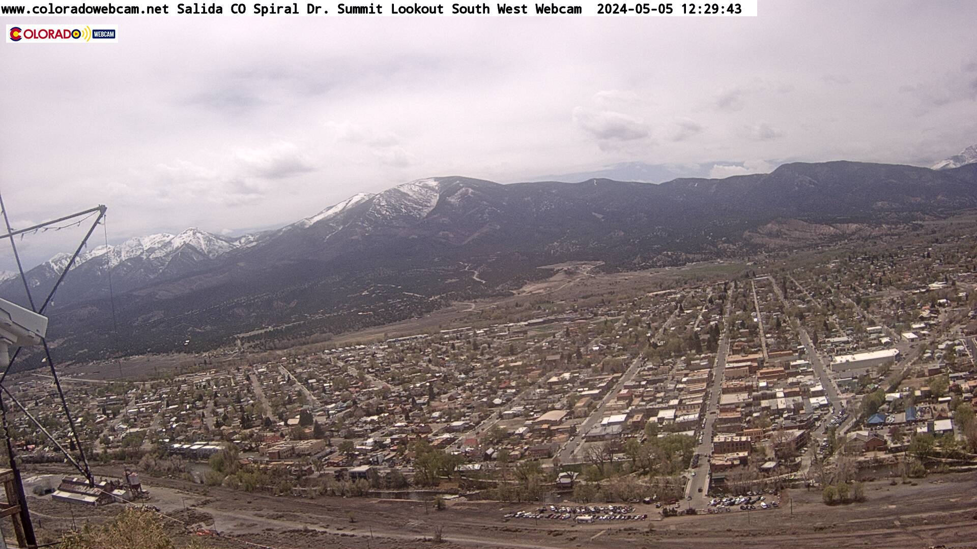
Spiral Drive Summit Salida (SW) (via Coloradowebcam.net)
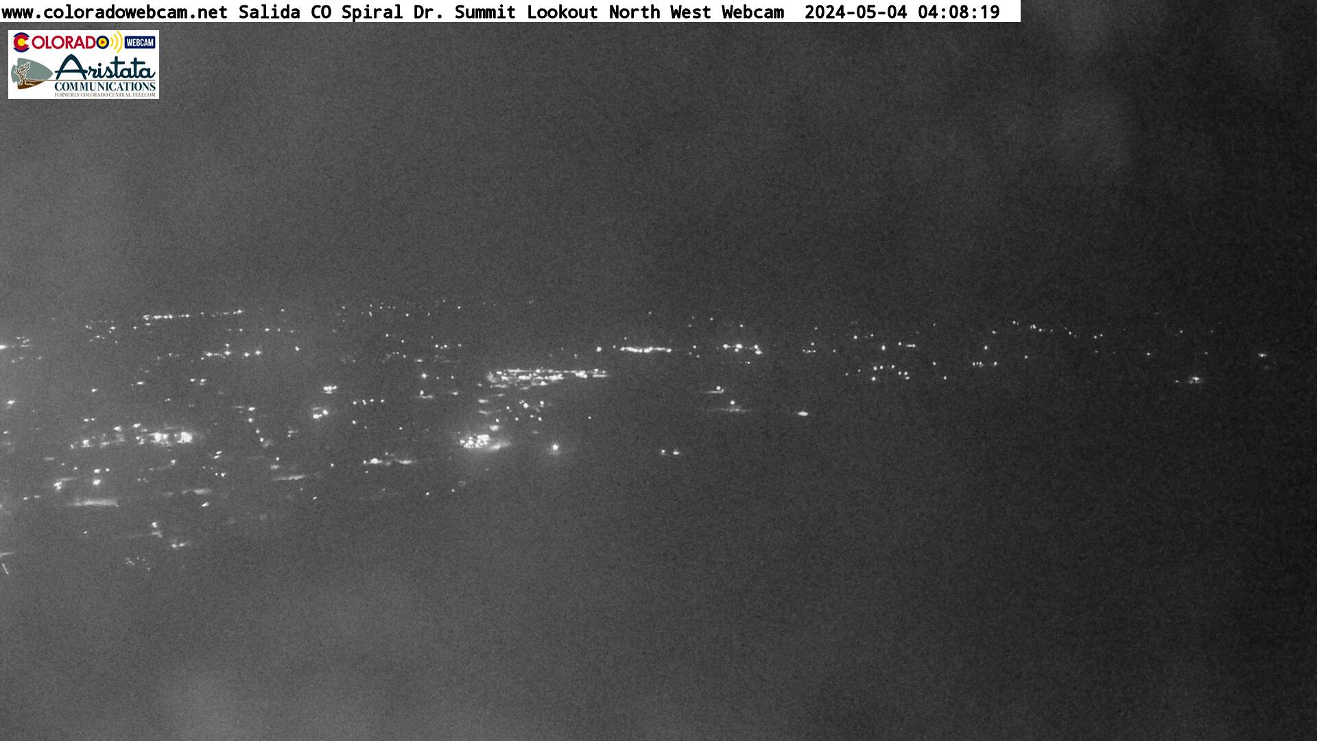
Spiral Drive Summit Salida (NW) (via Coloradowebcam.net)
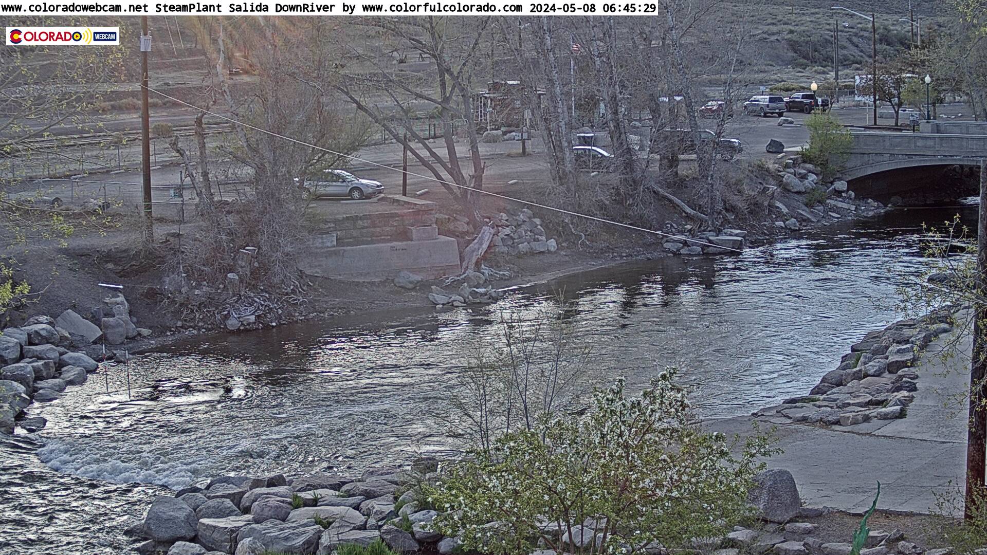
Salida Steam Plant Down River (via Coloradowebcam.net)
Salida, CO overview (via Coloradowebcam.net)
River, Railroads, and Resilience: The History of Salida, Colorado and Its Mountain Heartland
Salida, Colorado Weather Cams. In the upper Arkansas River Valley, flanked by the towering Sawatch Range to the west and the uplifted shoulders of the Sangre de Cristo Mountains to the southeast, Salida, Colorado grew from rugged rail-town roots into a cultural and recreational crossroads. Though now known for its vibrant arts scene and outdoor adventures, Salida’s story is steeped in mining booms, transportation revolutions, and enduring ties to land and water.
Where Water Shapes the Land
The story begins with the river. The Arkansas, one of the nation’s great waterways, carves a dynamic course through the valley, offering sustenance, transport, and challenge for thousands of years. The region sits along a critical corridor between the high mountain parks of central Colorado and the southern plains. For millennia, Indigenous peoples moved seasonally through the valley, especially the Ute, whose bands hunted game along the river and traversed the rugged mountain passes of present-day Chaffee County.
Nearby springs, such as those in Poncha and Cottonwood, were also known to Native people for their mineral-rich waters and healing warmth. While no major permanent Indigenous settlements are documented in modern Salida itself, archaeological evidence attests to long-standing use of the region as a thoroughfare and resource base.
From Prospectors to Railmen
The mid-1800s brought dramatic change. In 1859, the Pike’s Peak Gold Rush ignited a flood of prospectors into Colorado Territory. By the 1860s, small camps sprang up along the Arkansas River and its tributaries. Quartz-rich veins in surrounding mountains attracted miners to places like St. Elmo, Alpine, and Monarch—high-elevation outposts above what would soon be Salida.
Yet the valley floor remained relatively undeveloped until railroads arrived. In 1880, the Denver & Rio Grande Railroad established a terminal town called “South Arkansas” at a strategic bend in the river. Its proximity to mining camps and mountain passes made it ideal as a division point between Pueblo, Leadville, and Gunnison. That same year, the town was renamed Salida—Spanish for “exit” or “gateway”—marking its role as both conduit and destination.
The railroad transformed Salida into a bustling logistics hub. Roundhouses, maintenance shops, and yards sprawled across the valley floor, employing hundreds. Trains hauled ore, timber, livestock, and passengers across treacherous lines like Marshall Pass and the Arkansas Canyon. At its peak, Salida’s rail yard was the largest in Colorado west of Pueblo.
Building a Mountain Town
Rail and mineral wealth spurred rapid growth. By the 1890s, Salida boasted electric lighting, a streetcar, a public library, and its own opera house. Victorian homes and commercial blocks sprang up along F Street and in what’s now the downtown historic district. The town’s prosperity was uneven—some years defined by silver price collapses, others by economic rebounds—but Salida endured with a blend of grit and civic pride.
Not far from town, hot springs became a sought-after attraction. The Salida Hot Springs Aquatic Center, still in operation today, reflects an enduring appreciation for wellness and leisure tied to local geothermal activity.
A County With a Broader Arc
Salida became the county seat of Chaffee County in 1928, replacing Buena Vista. The broader region contains numerous high mountain towns—many of them mining camps turned ghost towns, such as Turret, Vicksburg, and Winfield. Others, like Nathrop and Granite, have persisted in quieter forms. These places reflect the boom-and-bust legacy of 19th-century extractive industries and the transitions that followed.
Agriculture also played an important role in the valley’s life. Irrigation from the Arkansas and its tributaries enabled hay fields and cattle ranches, especially north and south of Salida. The high elevation limited crop variety but favored potatoes, grains, and pasturage.
Rail Fades, Culture Grows
The mid-20th century brought dramatic changes. As diesel engines replaced steam locomotives and highways supplanted rail for freight and travel, Salida’s economy contracted. The once-bustling railyards scaled back significantly by the 1950s, and economic stagnation set in. Many buildings fell into disrepair, and outmigration followed.
But decline did not define Salida’s future. In the 1980s and ’90s, artists, entrepreneurs, and nature enthusiasts began rediscovering the area. The downtown, with its intact brick buildings and riverfront setting, attracted painters, sculptors, and craftworkers. A local commitment to historic preservation and creative adaptation transformed the town into one of the state’s most artistically vibrant small communities.
The Arkansas River itself—long seen as a barrier—became central to Salida’s renewal. Whitewater rafting, fishing, and kayaking found a natural home here. The Arkansas Headwaters Recreation Area, a state-managed corridor of trails and boat launches, brought new energy and tourism to the region. Salida’s historic downtown was designated a Certified Colorado Creative District in 2012, cementing its reputation as a cultural beacon.
Landscapes of Recreation and Reflection
Salida today is surrounded by protected lands. To the west lie the San Isabel National Forest and several 14,000-foot peaks, including Mount Shavano, Mount Antero, and Tabeguache Peak—part of Colorado’s famed Collegiate Peaks. To the east are the Arkansas Hills, with biking and hiking trails popular among locals and visitors alike.
The regional economy now draws from tourism, outdoor recreation, and a growing remote workforce. Local industries have included boutique agriculture, craft brewing, artisan food production, and renewable energy efforts.
Yet even as Salida thrives, it wrestles with challenges familiar to many mountain towns: housing affordability, balancing growth with preservation, and maintaining cultural heritage amidst rising popularity.
A Living River Town
Salida’s history is neither linear nor static. It flows—like the river that defines it—through cycles of movement, adversity, and renewal. From Ute trails to rail corridors, mining booms to art walks, Salida reflects a deep interplay between people and place, industry and imagination.
Its legacy lies in its resilience and ability to adapt without forgetting where it came from. The echo of train whistles may have faded, but the rhythm of Salida’s story carries on—carved into canyon walls, framed in century-old brickwork, and sung in the current of the Arkansas itself.
For more information, visit the Salida, Colorado official website.